")
")
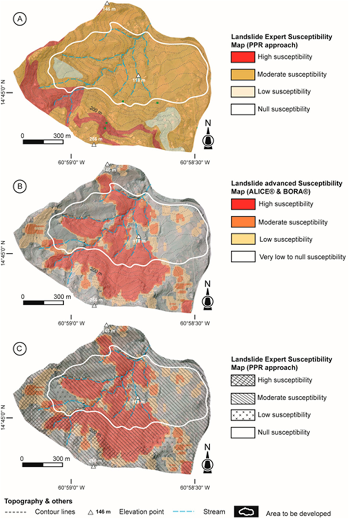
Fig. 9
Download original image
Exemple de carte de susceptibilité avancée glissements de terrain pour la commune la Trinité (Martinique, d’après Thiery et al., 2017b). A. Carte produite par approche empirique pour le PPR de la commune de la Trinité. B. Carte produite par approche multidisciplinaire. C. Superposition des deux cartes (A, B).
Example of an “advanced” susceptibility map for the commune of La Trinité (Martinique, from Thiery et al., 2017b). A. landslide hazard map produced by empirical approach for the PPR of municipality of La Trinité. B. Map produced using a multidisciplinary approach. C. Overlay of the two maps (A, B).
Current usage metrics show cumulative count of Article Views (full-text article views including HTML views, PDF and ePub downloads, according to the available data) and Abstracts Views on Vision4Press platform.
Data correspond to usage on the plateform after 2015. The current usage metrics is available 48-96 hours after online publication and is updated daily on week days.
Initial download of the metrics may take a while.